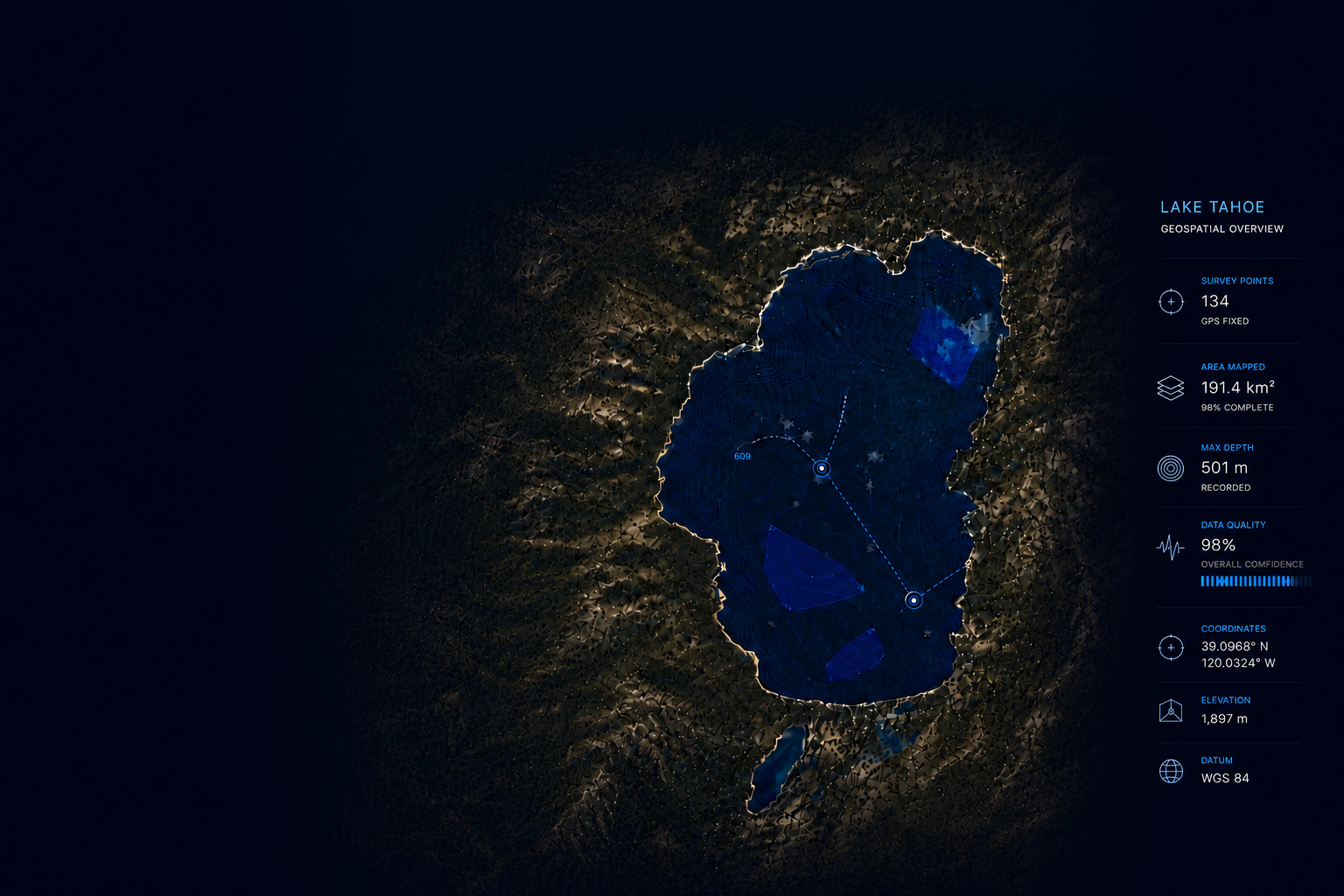
Intelligent Systems.
Custom Platforms.
Built on Geospatial &
Environmental Data.
We create end-to-end systems that simplify complex data. From field data to dashboards, we structure it into usable intelligence.
FROM DATA TO DECISIONS
Our End-to-End Workflow
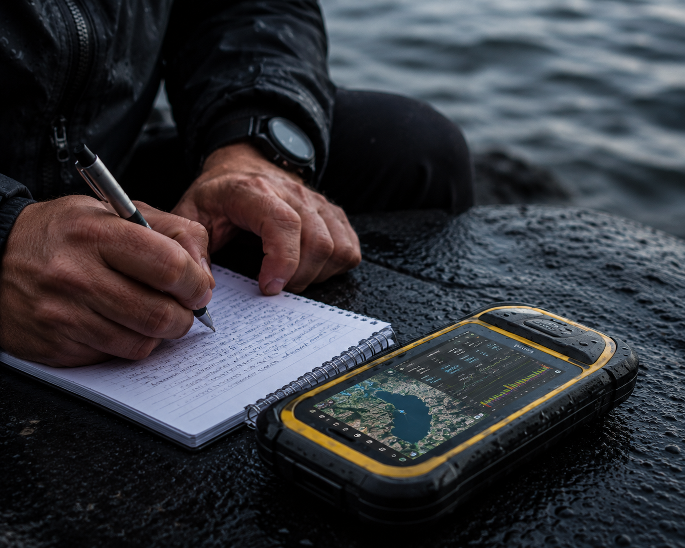
Field Collection
Collect data in the field using ROVs, sensors, drones, and environmental instruments.
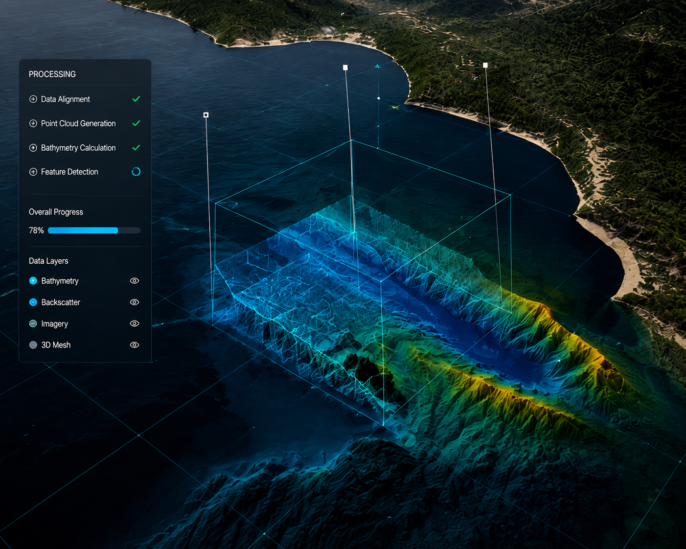
Processing
Ingest, clean, and validate raw data through automated pipelines and QA workflows.
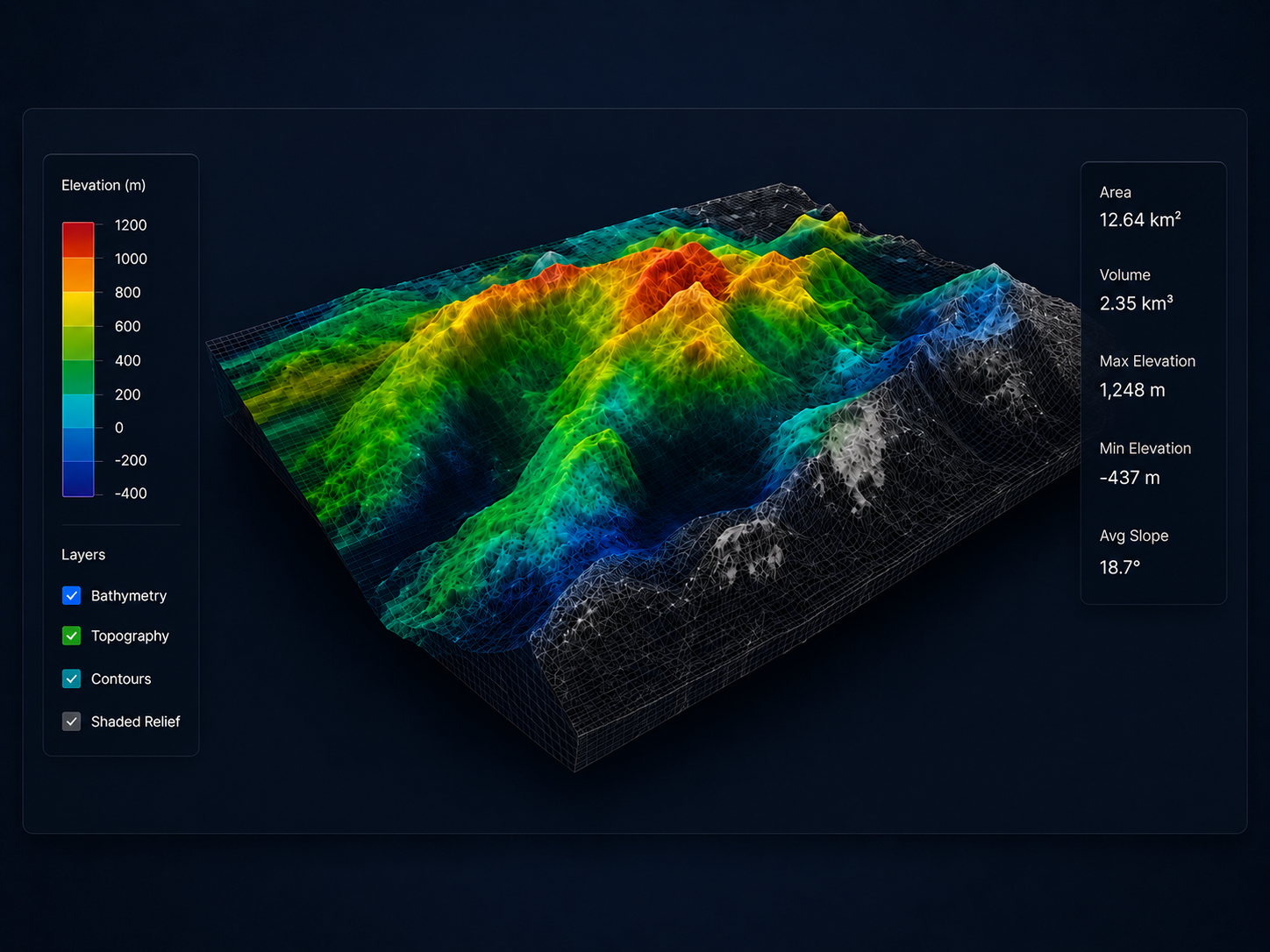
Analysis
Transform data into spatial insights with advanced analytics and modeling.
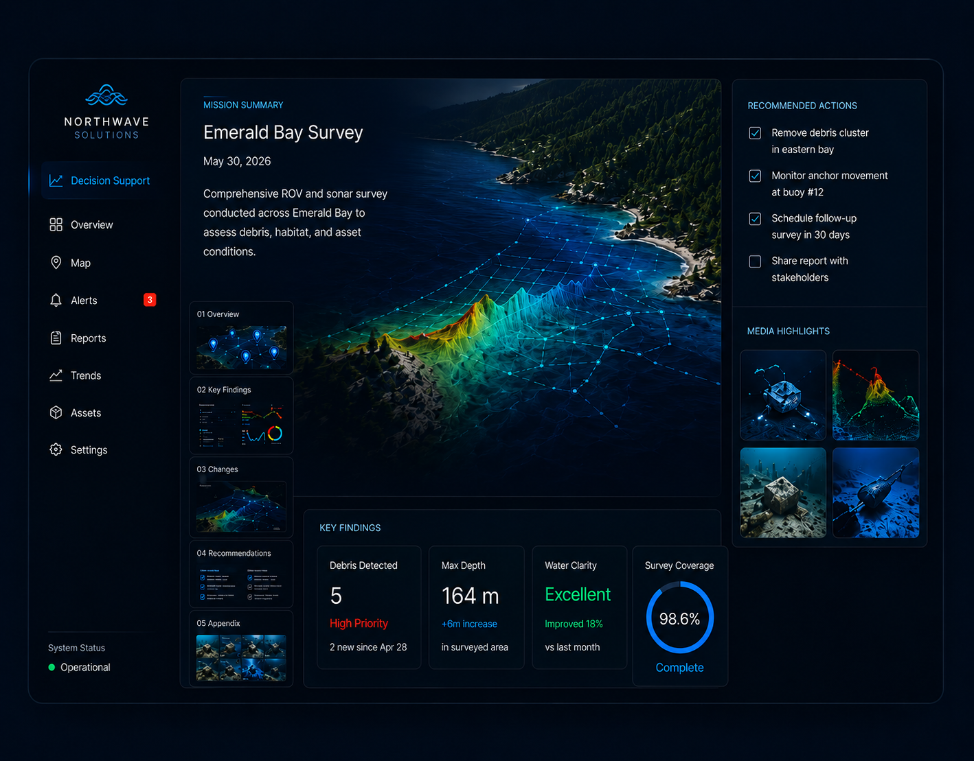
Decision Support
Deliver actionable intelligence through dashboards, alerts, and reporting tools.
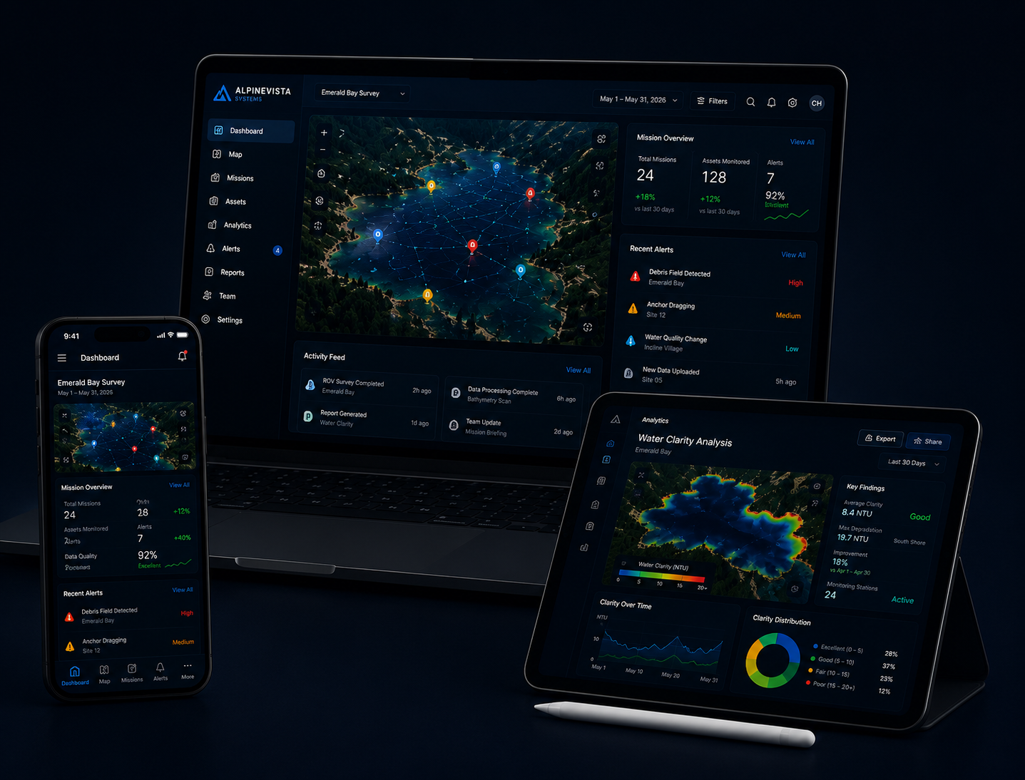
Software Platform
Purpose-built platforms that connect teams, systems, and environments.
Field Collection
Collect data from field operations, connected sensors, drones, ROVs, APIs, and automated collection systems.
Processing
Ingest, clean, and validate raw data through automated pipelines and QA workflows.
Analysis
Analyze processed data to uncover patterns, detect changes, and generate meaningful operational insights.
Decision Support
Transform analytical results into clear recommendations, operational insights, and informed decisions.
Software Platform
Deploy scalable software platforms that connect users, data, and operations across every device.
INTELLIGENCE SYSTEMS
Intelligence That Drives Action
AI Recognition
Automatically identify, classify, validate, and confidence-score environmental data using advanced AI models.
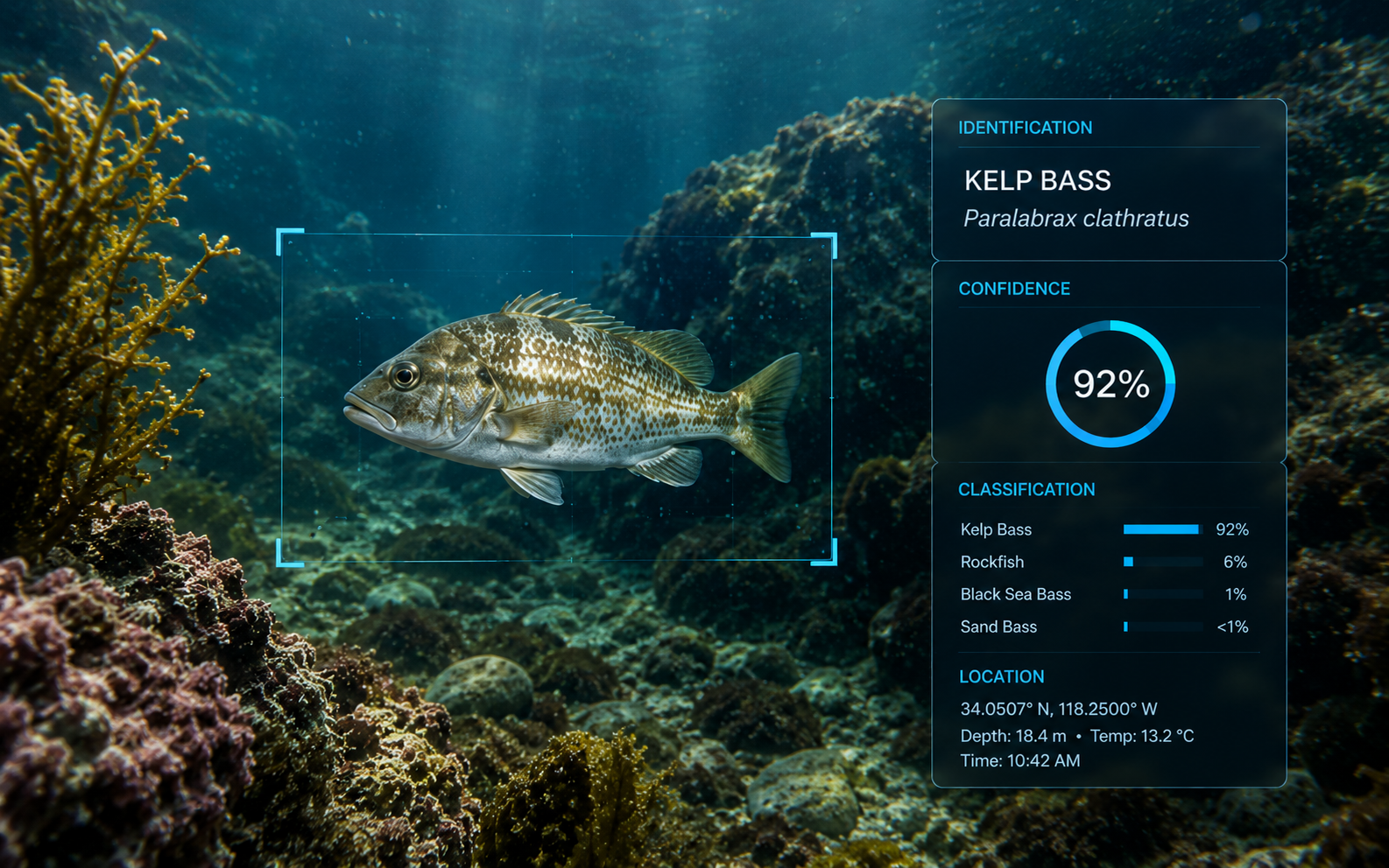
Recognition • Classification • Quality Assurance • Confidence Scoring
Environmental Intelligence
Analyze environmental data to uncover patterns, detect change, and generate meaningful spatial intelligence.
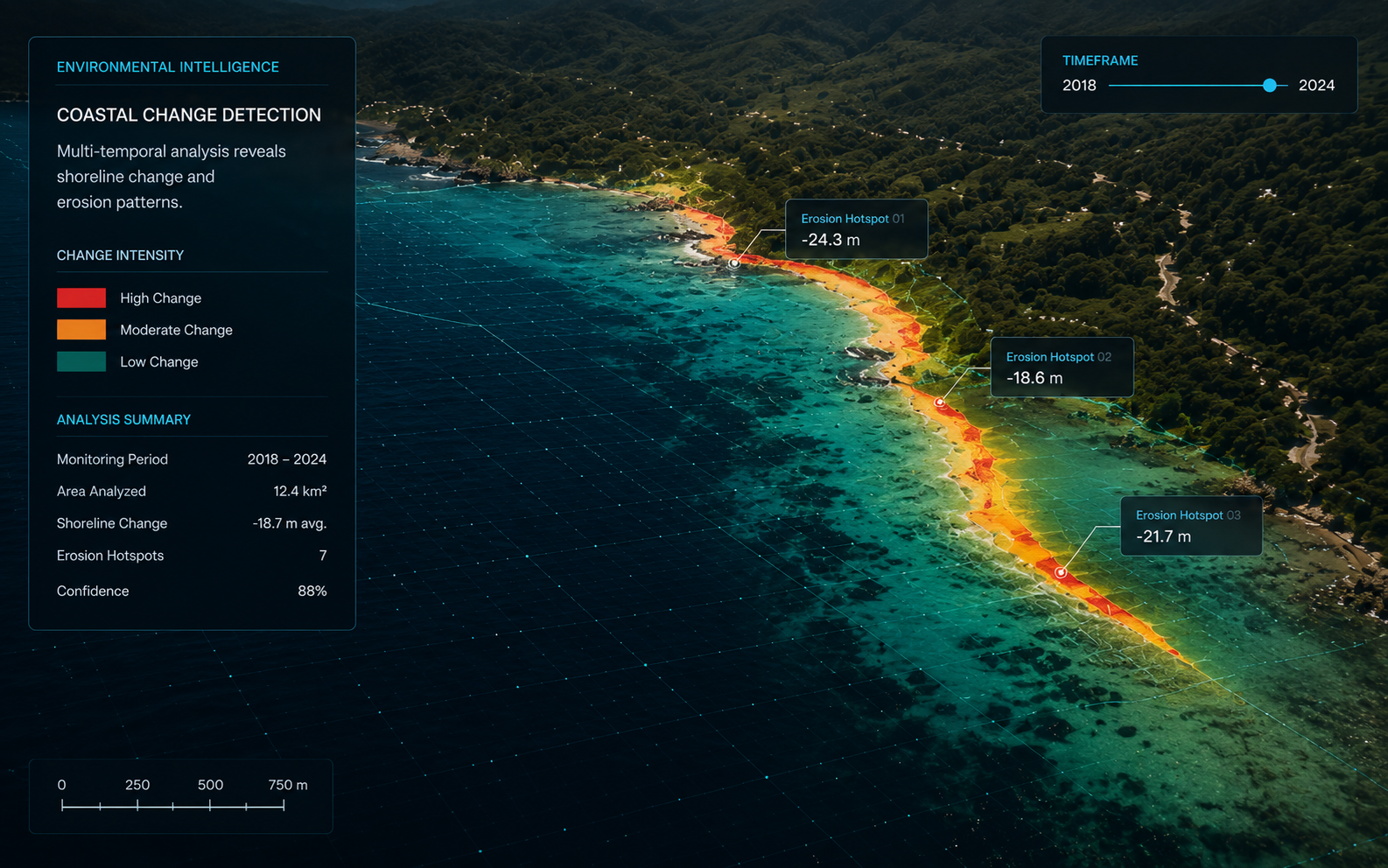
Spatial Analysis • Modeling • Change Detection • Sensor Interpretation
Operational Intelligence
Transform environmental intelligence into actionable recommendations, alerts, and decision support.
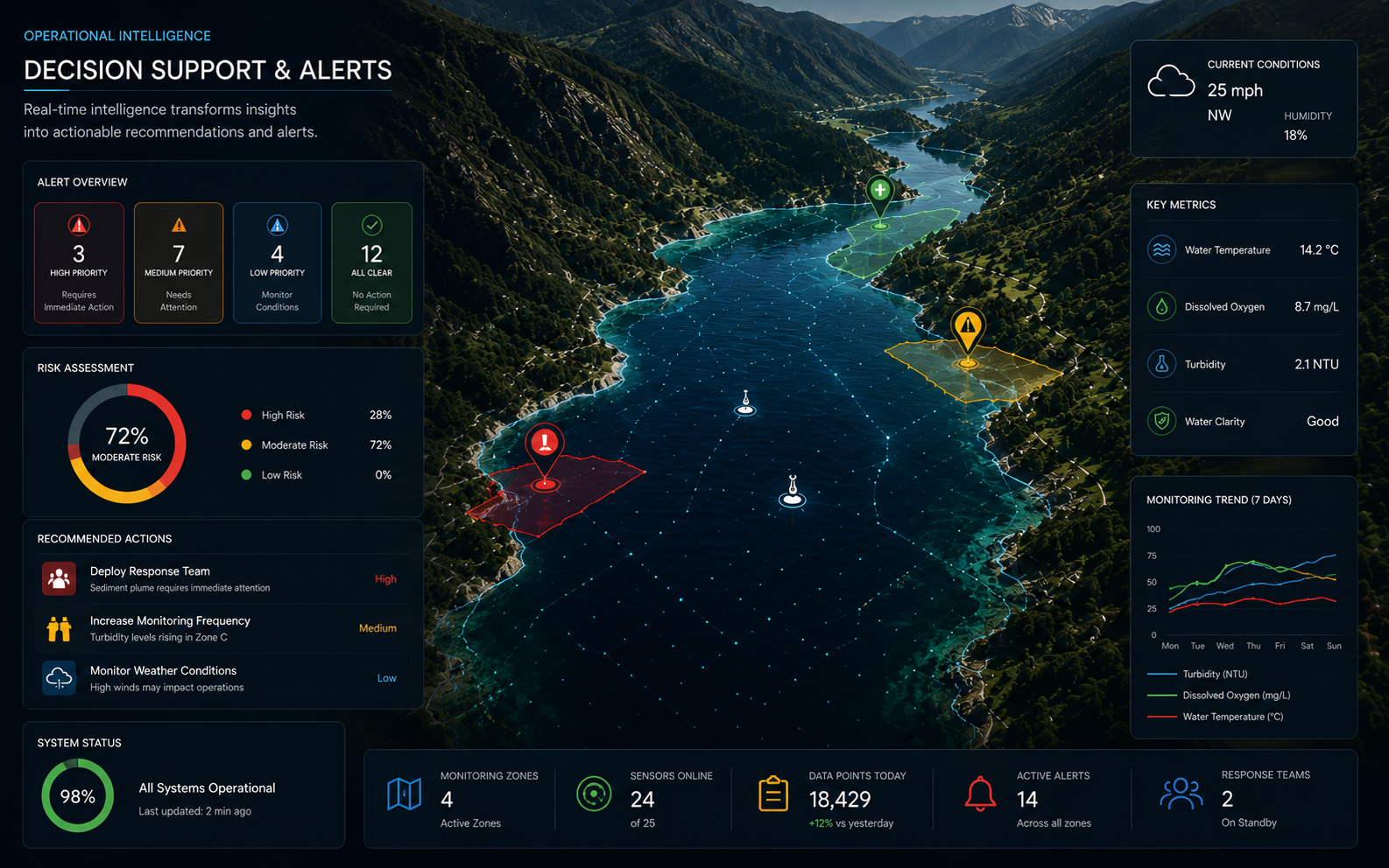
Decision Support • Recommendations • Environmental Alerts • Risk Assessment
AI Recognition
Automatically identify, classify, validate, and confidence-score environmental data using advanced AI models.
Image Recognition • Classification • Confidence Scoring • Object Detection • Species Identification • Anomaly Detection
Environmental Intelligence
Analyze environmental data to uncover patterns, detect change, and generate meaningful spatial intelligence.
Spatial Analysis • Change Detection • Sensor Interpretation • Trend Analysis • Environmental Monitoring • Predictive Insights
Operational Intelligence
Transform environmental intelligence into actionable recommendations, alerts, and decision support.
Decision Support • Recommendations • Environmental Alerts • Risk Assessment • Auto-Reporting • Workflow Automation
MISSION-DRIVEN SOFTWARE
Client-Specific Platforms
Ripple DataMaps™
Field data collection, mapping, and visualization for environmental teams.
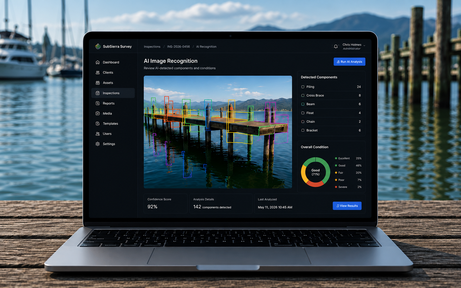
Explore Platform →SubSierra Survey™
ROV inspections and asset condition management for underwater infrastructure.
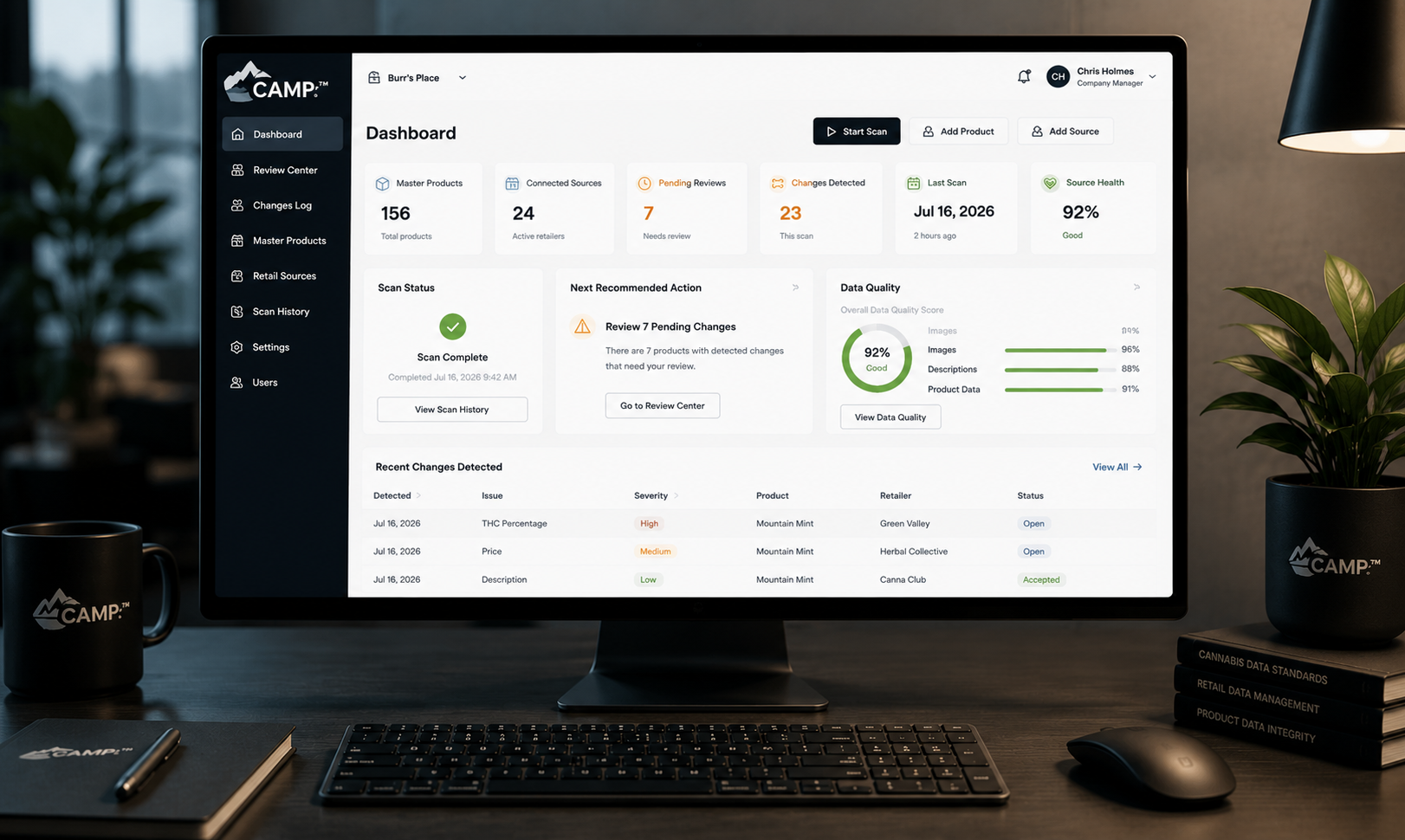
Explore Platform →CAMPr™
Automated product data review, asset management, and retailer compliance for cannabis brands.
Explore Platform →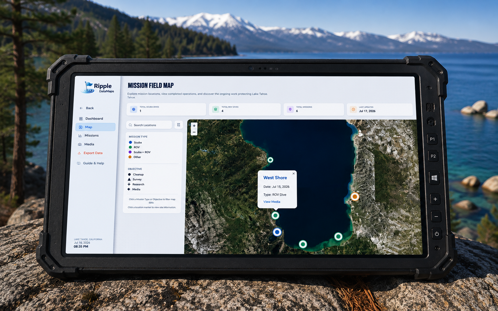
Ripple DataMaps™
Field data collection, mapping, and visualization for environmental teams.
Explore Platform →SubSierra Survey™
ROV inspections and asset condition management for underwater infrastructure.
Explore Platform →CAMPr™
Automated product data review, asset management, and retailer compliance for cannabis brands.
Explore Platform →INDUSTRIES WE SERVE
Built for Specialized Operations
Environmental Monitoring
Protect natural resources with continuous insight.
Infrastructure
Inspect, maintain, and extend the life of critical assets.
Marine Operations
Operate safely and efficiently in complex environments.
Research & Science
Accelerate discoveries with better data and tools.
Environmental Monitoring
Collect, manage, and analyze environmental data through integrated field collection, GIS, remote sensing, and long-term monitoring workflows.
Infrastructure
Streamline inspections, condition assessments, and asset management with software built for engineering, maintenance, and operational planning.
Marine Operations
Support underwater surveys, ROV operations, and marine field missions with platforms that organize mission data, imagery, and operational workflows.
Research & Science
Organize field observations, imagery, geospatial datasets, and workflows into software that helps research teams focus on discovery instead of data management.
Ready to Build What's Next?
Let's create intelligent systems that drive real-world impact.
Start a Conversation